


Musaffah road plans: through traffic and the last turn
2 min read
Abu Dhabi’s Department of Municipalities and Transport announced a road upgrade plan for Musaffah on 11 October. It covers around 13 kilometres of E30 and 8th Street, with connections serving the industrial area, Mohamed Bin Zayed City and Zayed City. The useful distinction for everyday journeys is between traffic passing through and vehicles trying to reach a local destination.
The announcement describes a three-lane highway in each direction along 8th Street, with three additional lanes on either side serving local shops and amenities. It also lists changes to four E30 interchanges and nine junctions. Two road bridges connecting Musaffah and Mohamed Bin Zayed City, plus a pedestrian bridge, are planned.
The release does not provide a construction start date, completion date or live diversion instructions. Treat it as an explanation of the intended network. It is not a notice that a new lane, bridge or turn is available for today’s journey.
For a driver, the last part of the trip deserves its own check. Reaching the right district and reaching the correct workshop entrance are separate tasks. Save the destination’s exact entrance or meeting point, then ask the business whether visitors and deliveries use the same access. A pin in the middle of a large building can be geographically accurate and still be a fairly unhelpful welcome.
If you arrange collections or deliveries, keep a short access note with the booking: destination contact, agreed entrance, vehicle requirements and where the receiver will meet the driver. Confirm those details with the business rather than deriving them from a future road illustration. This is practical trip-planning advice, not a new requirement announced by DMT.
For a regular commute, note which part of the journey you want to understand: the approach from another community, an interchange, or the final local street. When detailed construction notices arrive, compare their named roads and dates with that actual trip. A broad project boundary alone cannot tell you whether your particular turn will change.
Before setting off, use current navigation and official traffic notices for conditions on the day, and follow signs and directions on the road. If a future notice describes a closure, check its time window and the destination access instructions before sharing it with colleagues. Keep the source and date attached when forwarding an update; a cropped road graphic tends to outlive its context.
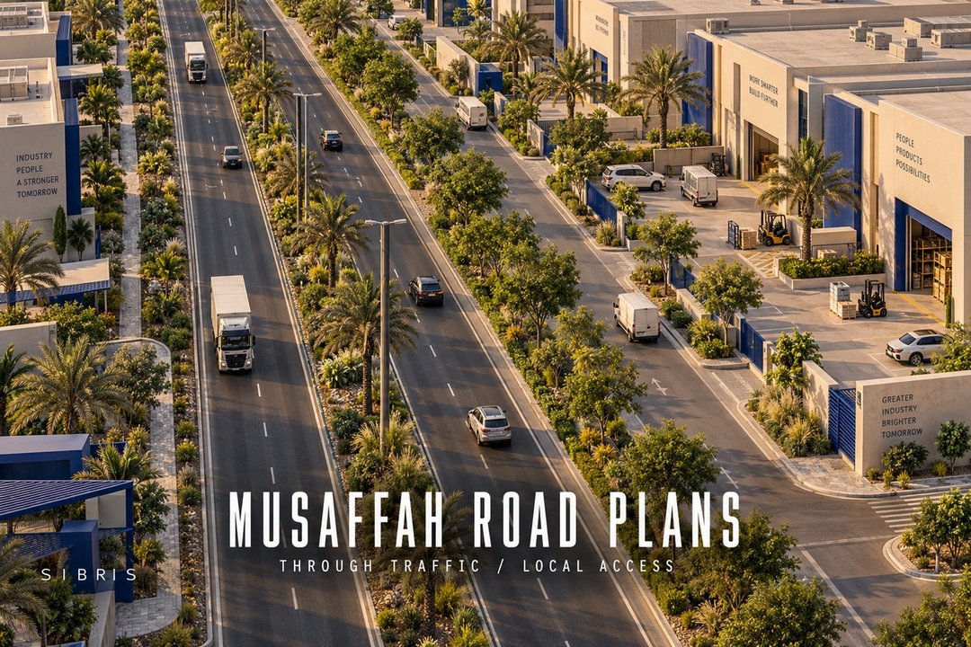
Cover: an original AI-generated conceptual illustration of an imaginary industrial district. It is not an approved Musaffah road layout, a construction photograph or a map for navigation.
Sources & further reading
 Illustration
Oud Maitha–Al Asayel works are complete: how to reassess your everyday journey
RTA has completed the road project. A practical way for Dubai residents to compare their actual route, return journey and neighbourhood access.
2 min read
Read story Illustration
Dubai's climate adaptation roadmap: what to look for in everyday journeys
RTA's September strategy sets a direction through 2030. A practical guide to reading the announcement without mistaking plans for completed improvements.
2 min read
Read story Illustration
Dubai bus frequencies have changed: check the journey behind the address
RTA's latest bus update is a useful prompt to test your weekday commute, connection and return trip before relying on a familiar timetable.
2 min read
Read story